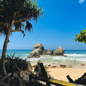

Waterfall
Large multi tiered waterfall flowing through a steep highland valley near Ramboda.
Large multi tiered waterfall flowing through a steep highland valley near Ramboda.

Scenery
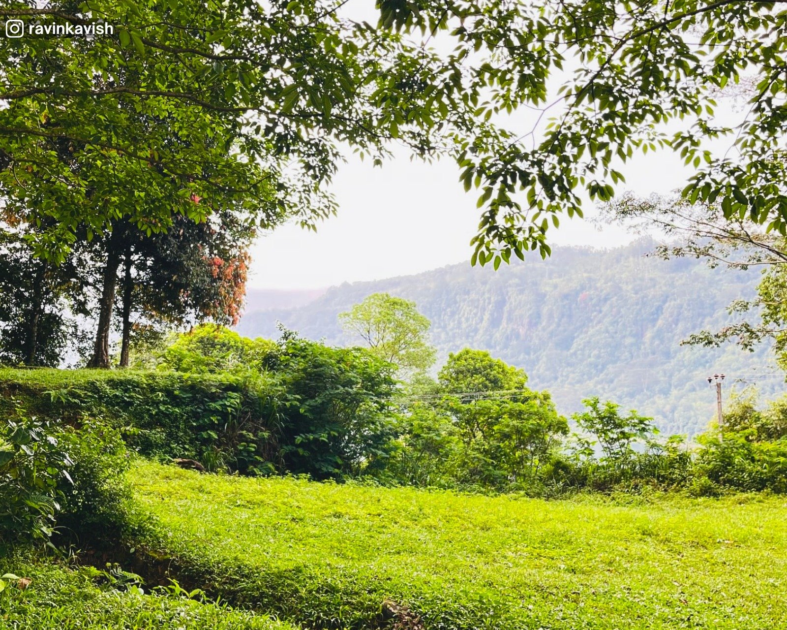
Deep valleys, tea estate covered slopes, forest patches, and drifting mist.
Deep valleys, tea estate covered slopes, forest patches, and drifting mist.

Hike
Reached via short walking paths and steps from roadside viewpoints. Moderate effort required for return climb.
Reached via short walking paths and steps from roadside viewpoints. Moderate effort required for return climb.


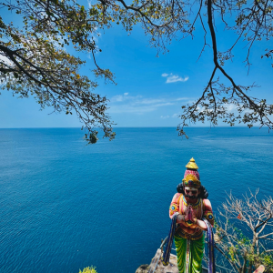
Hindu Temple
Hindu temple dedicated to Lord Hanuman, associated with Ramayana tradition.
Hindu temple dedicated to Lord Hanuman, associated with Ramayana tradition.
Scenery
Elevated views of valleys, tea estates, misty hills, and surrounding highland landscapes.
Elevated views of valleys, tea estates, misty hills, and surrounding highland landscapes.

Art & Culture
Brightly coloured Hindu architecture and devotional practices rooted in Ramayana based beliefs and worship.
Brightly coloured Hindu architecture and devotional practices rooted in Ramayana based beliefs and worship.
Waterfall
Small to medium sized seasonal waterfall flowing through steep highland terrain.
Small to medium sized seasonal waterfall flowing through steep highland terrain.
Scenery
Rocky valley, forested slopes, tea estate surroundings, and quiet hill country views.
Rocky valley, forested slopes, tea estate surroundings, and quiet hill country views.
Waterfall
Small to medium sized seasonal waterfall flowing through steep highland terrain.
Small to medium sized seasonal waterfall flowing through steep highland terrain.
Scenery
Rocky slopes, forested valley, tea estate surroundings, and a quiet hill country setting.
Rocky slopes, forested valley, tea estate surroundings, and a quiet hill country setting.
Hike
Approx. 1-hour hike through tea estate trails with unmarked paths, slippery sections, and a river crossing. Offline maps recommended, especially in wet weather.
Approx. 1-hour hike through tea estate trails with unmarked paths, slippery sections, and a river crossing. Offline maps recommended, especially in wet weather.

Plains / Grassland
A flat, open rocky plain with shallow grooves across the surface, distinct from the surrounding steep highland slopes.
A flat, open rocky plain with shallow grooves across the surface, distinct from the surrounding steep highland slopes.
Scenery
Exposed rock surfaces, surrounding hills, tea estate views, and open highland landscapes.
Exposed rock surfaces, surrounding hills, tea estate views, and open highland landscapes.
Hike
Easily reached from nearby roads with short walking required across rocky ground.
Easily reached from nearby roads with short walking required across rocky ground.
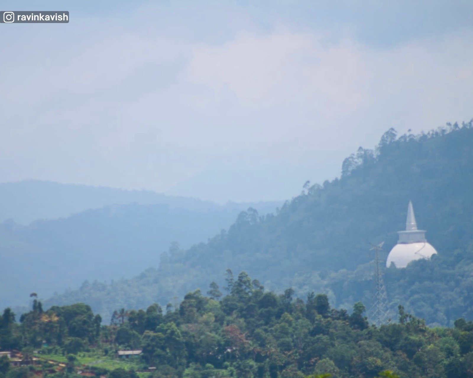
Mountain
Elevated hill area offering wide views across the Ramboda highlands, also known locally as Monaragala Mountain.
Elevated hill area offering wide views across the Ramboda highlands, also known locally as Monaragala Mountain.
Scenery
Tea estates, open valleys, rocky slopes, forested ridges, and layered mountain views.
Tea estates, open valleys, rocky slopes, forested ridges, and layered mountain views.
Hike
Reached via short walks from nearby roads and viewpoints.
Reached via short walks from nearby roads and viewpoints.
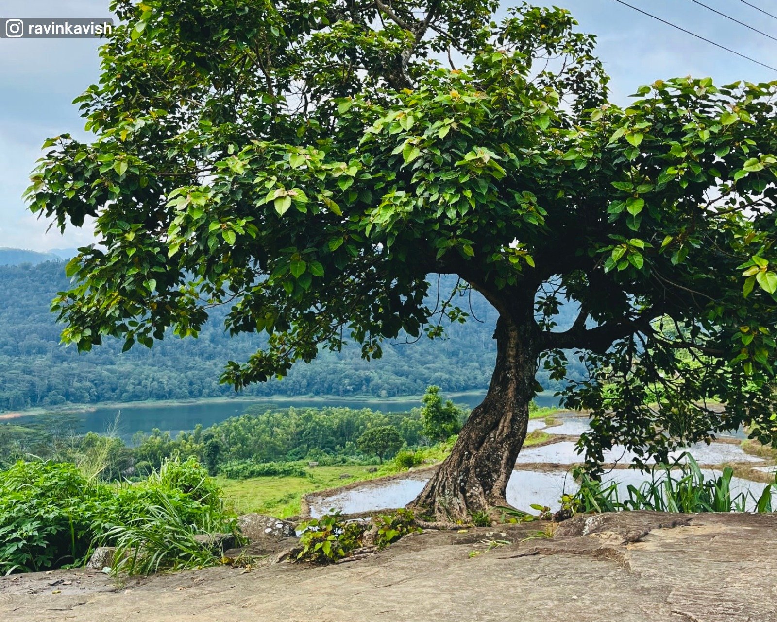
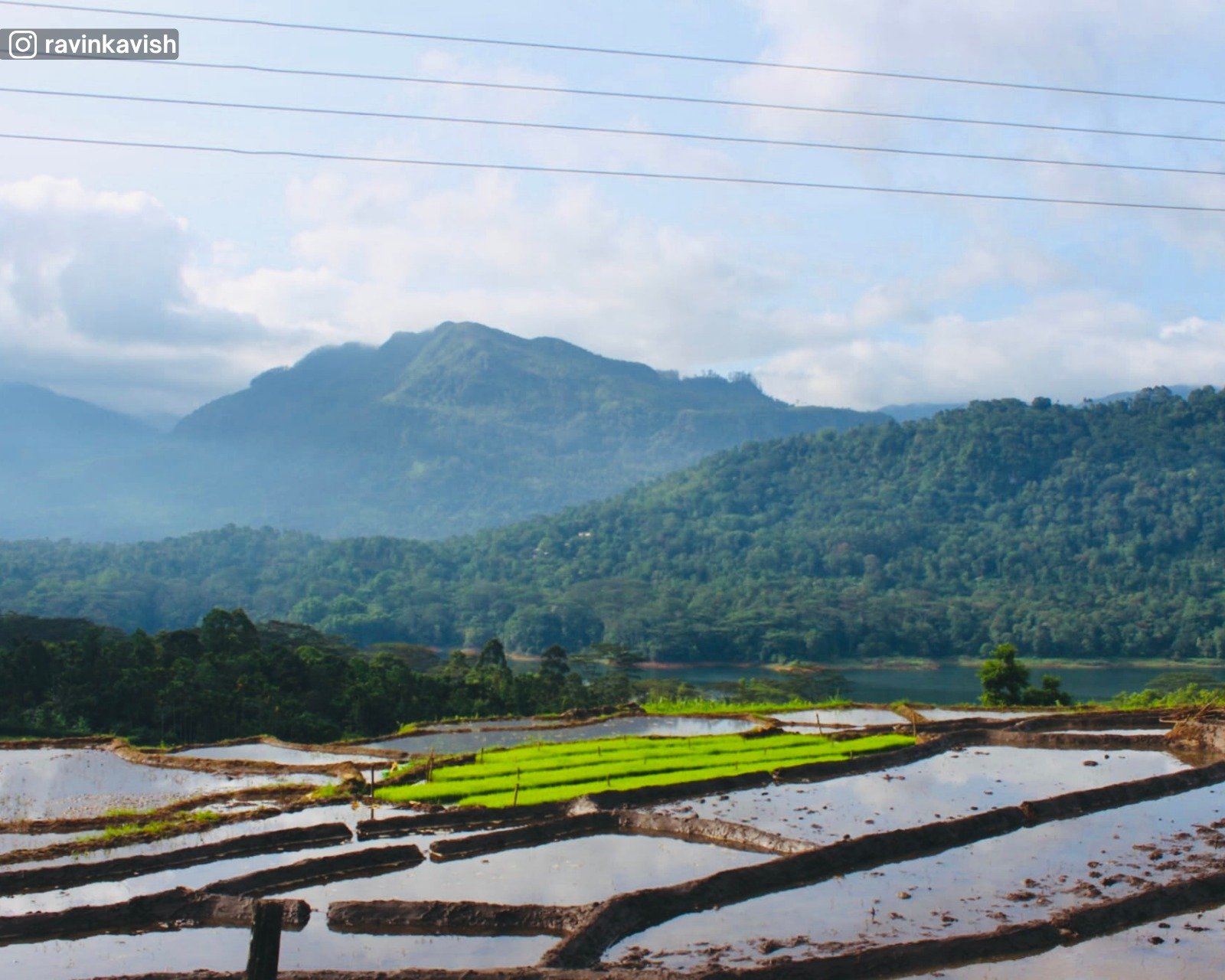
Scenery
Paddy fields interspersed with rocky outcrops, open valley views, and distant views of the Kothmale Oya.
Paddy fields interspersed with rocky outcrops, open valley views, and distant views of the Kothmale Oya.

Mountain
Believed to date to the early historic period and traditionally associated with King Dutugemunu.
Believed to date to the early historic period and traditionally associated with King Dutugemunu.
Scenery
Panoramic views of Kotmale Reservoir, surrounding hills, valleys, and open highland skies.
Panoramic views of Kotmale Reservoir, surrounding hills, valleys, and open highland skies.
Hilltop
Natural lookout offering wide views across the Kotmale highlands.
Natural lookout offering wide views across the Kotmale highlands.
Scenery
Valleys, forested slopes, cultivated land, and layered mountain ridges.
Valleys, forested slopes, cultivated land, and layered mountain ridges.
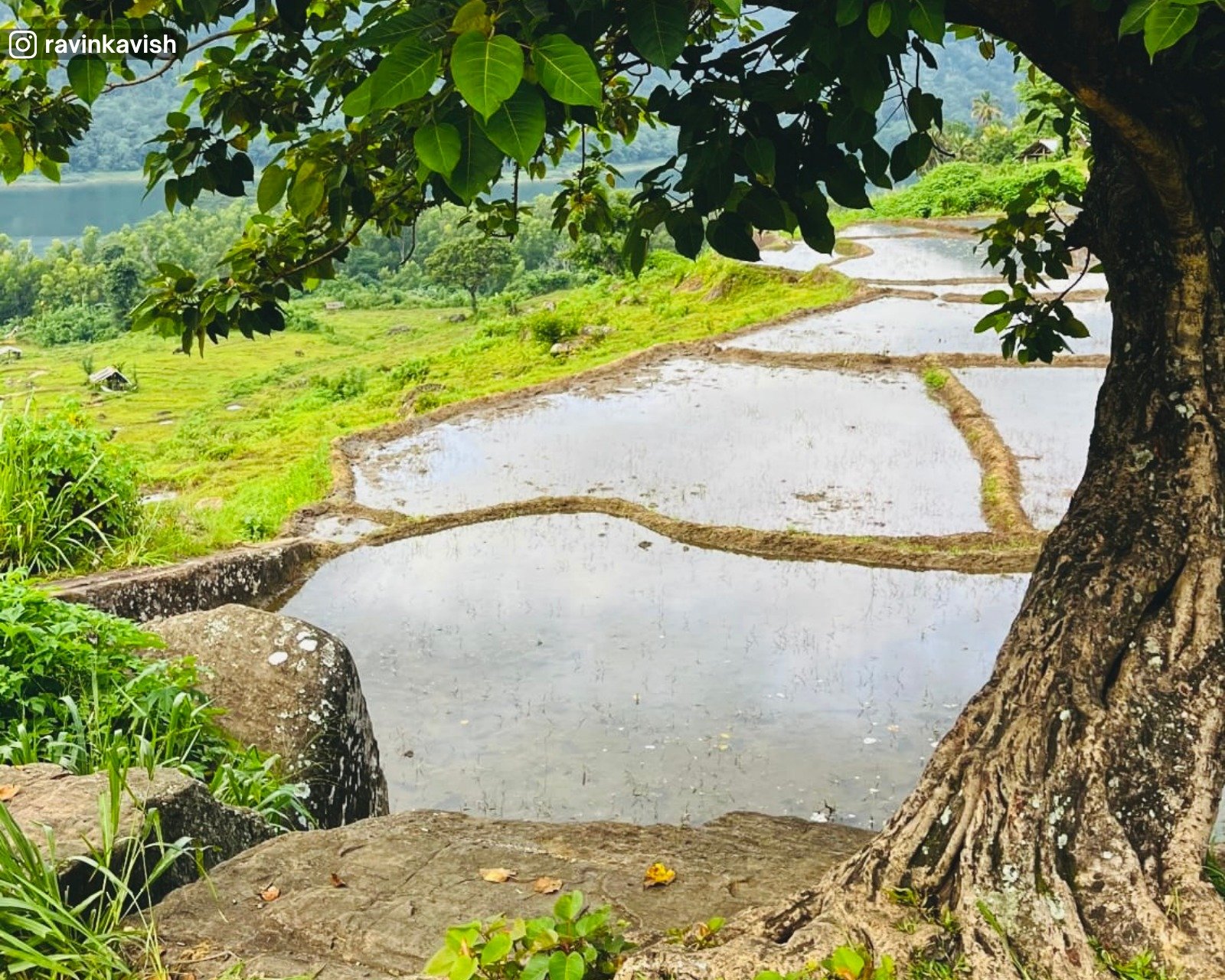
Scenery
Paddy fields interspersed with rocky outcrops, open valley views, and distant views of the Kothmale Oya.
Paddy fields interspersed with rocky outcrops, open valley views, and distant views of the Kothmale Oya.

History
Believed to date to the early historic period and traditionally associated with King Dutugemunu.
Believed to date to the early historic period and traditionally associated with King Dutugemunu.
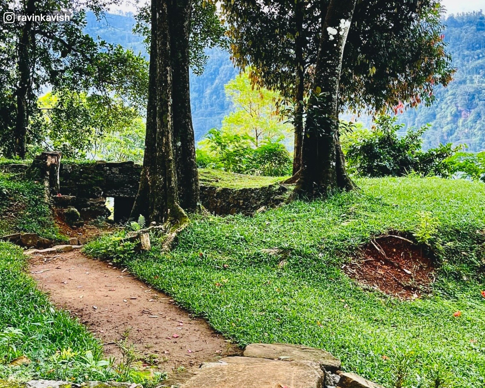
Scenery
Hill country terrain with forested slopes, rocky ground, and views across the Kotmale landscape.
Hill country terrain with forested slopes, rocky ground, and views across the Kotmale landscape.
History
Ancient entrance to Kotmale, traditionally associated with Prince Dutugemunu and early royal movements.
Ancient entrance to Kotmale, traditionally associated with Prince Dutugemunu and early royal movements.